NeighborhoodLowry Hill East (The Wedge)Greater Uptown & Nearby
A $24 Million Lyndale Avenue Makeover Splits the Neighborhood
Hennepin County's planned reconstruction of Lyndale Avenue South between Franklin Avenue and 31st Street has split the corridor over parking, bike lanes and construction disruption.
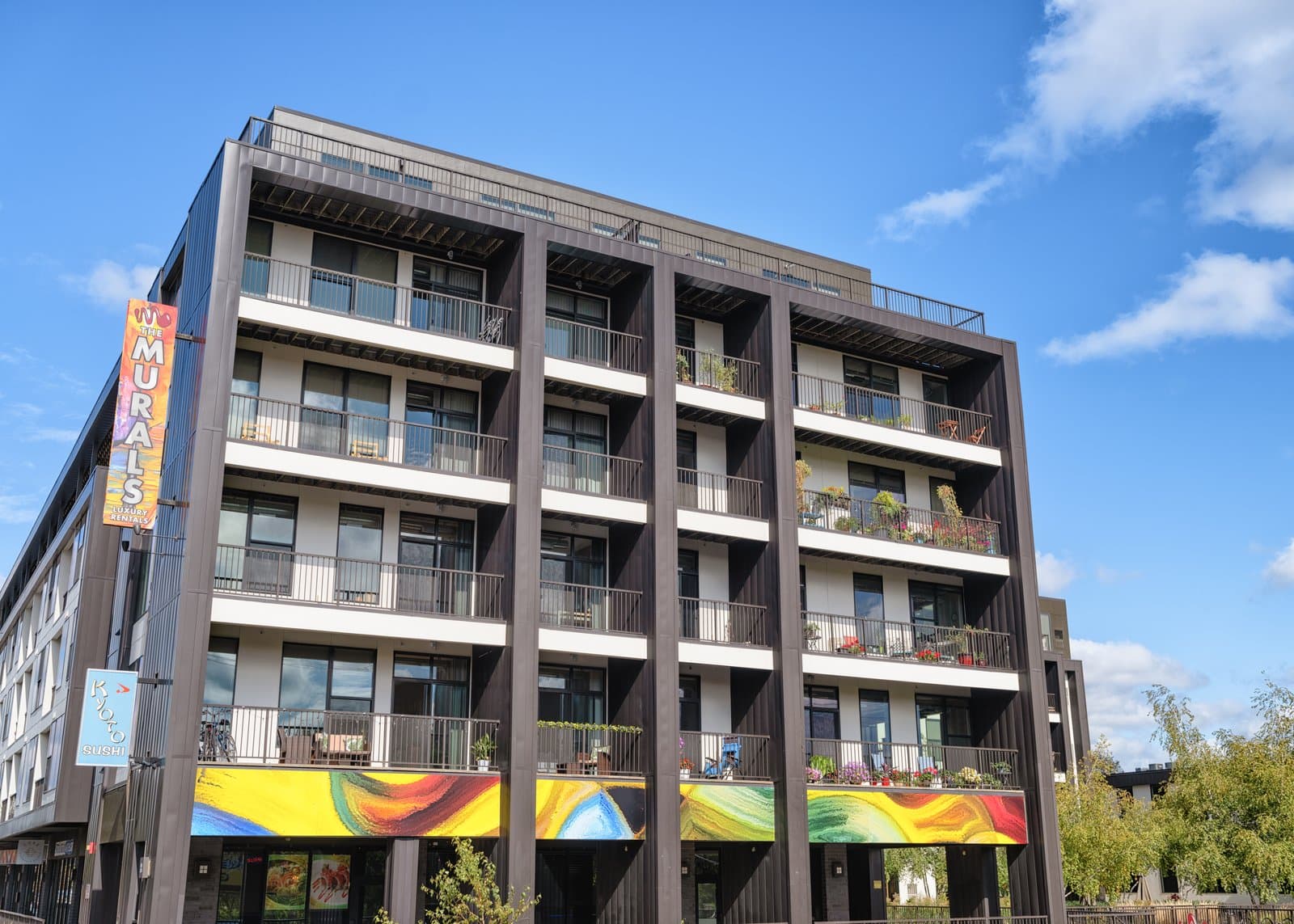
Hennepin County plans to rebuild Lyndale Avenue South between Franklin Avenue and 31st Street, an estimated $24 million reconstruction now being designed through 2026, and the project has set off a sharp neighborhood fight over parking and street design.
The county, working with the City of Minneapolis, Metro Transit and other partners, is reconstructing Lyndale (County Road 22) between Franklin Avenue (County Road 5) and 31st Street, with construction expected to begin around 2027 to 2028. Project information is posted atand
At the center of the dispute is parking. The county's design adds a separated, two-way bikeway on the east side of Lyndale and connects it to the bikeway north of Franklin Avenue, but it reduces on-street parking by about a quarter. Some Uptown-area business owners have organized to protect parking they consider essential to drawing customers, while transit, biking and pedestrian advocates, including Our Streets Minneapolis and Move Minnesota, argue the rebuild is a once-in-a-generation chance to make the street safer for people on foot, on bikes and on the bus. The two sides clashed at a contentious public meeting in June 2026.
Underneath the design fight is a more immediate fear: the disruption itself. Merchants watched the recent reconstruction of Hennepin Avenue South, which reopened in 2025 after a multi-season rebuild, and worry a thin-margin shop or restaurant may not survive months of fenced sidewalks and detoured traffic. For many owners, how the city and county support businesses through construction matters as much as the final design. With the plan still being shaped, the months ahead will determine whose vision prevails.
NeighborhoodLowry Hill East (The Wedge)Greater Uptown & Nearby
Related stories

Neighborhood
Lowry Hill and East Isles Land on Patch's List of Minnesota's Most Expensive Neighborhoods
Lowry Hill and East Isles rank among Minnesota's most expensive neighborhoods according to Patch's analysis of Niche's 2026 data.

Neighborhood
Community celebrates Lake of the Isles Pencil's 5th sharpening
Thousands gathered in East Isles on June 6, 2026, to watch the annual ceremonial sharpening of Minneapolis' giant pencil sculpture.

Neighborhood
The end is in sight for Loring Park dandelion fountain's drought
State lawmakers approved $1.8 million for Berger Fountain repairs, and Park Board crews have begun demolition at the dry Loring Park landmark.
The neighborhood, in your inbox
Free. No paywall. Pick the topics you want — we send what’s happening this week.