NeighborhoodEast IslesCedar-Isles-DeanLake of the Isles
Native Plantings Are Replacing Lawn Along the Isles Bays
The turf that runs to the waterline is being traded, patch by patch, for deep-rooted natives.
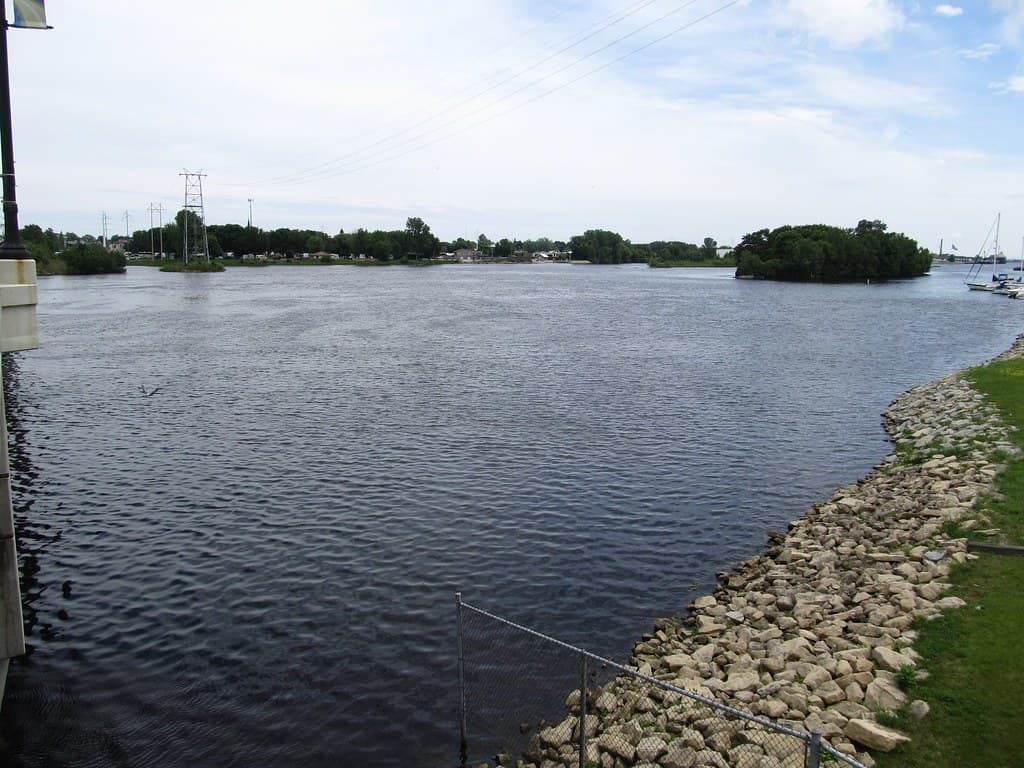
A lawn that runs all the way to the water looks crisp, but ecologically it is close to useless. Shallow grass roots do little to hold a bank, and the open turf offers almost no habitat. Along the Chain of Lakes, that turf-dominated, eroding lakeshore is precisely the target of a restoration push that is slowly trading manicured edge for something messier and far more alive.
The Trouble With Turf
The problem with grass to the waterline is that it does none of the jobs a shoreline is supposed to do. It does not slow runoff, it does not filter the sediment and nutrients that runoff carries, and its short roots let the bank slump into the lake during a hard rain. What looks tidy from a distance is, up close, an open pipe feeding pollution into the water.
That is why a state appropriation from Minnesota's Environment and Natural Resources Trust Fund, recommended through the Legislative-Citizen Commission on Minnesota Resources, directed funding to the Park Board specifically to restore and enhance areas of low-habitat, eroding shoreline that drag down water quality. The money targets the worst stretches first, where the trade from turf to native plants does the most good.
What Replaces It
In place of the lawn go native sedges, grasses and flowering plants with roots that reach deep into the soil. Those roots hold the bank during storms, filter runoff before it reaches the lake and provide cover for the birds and insects that make a shoreline feel alive. The same planting that protects the water quietly rebuilds the food chain along the edge.
The approach matches the Cedar-Isles plan's stated default: stabilize the shoreline with native vegetation everywhere except the formal access points where people need to reach the water. Patch by patch, that turns the old logic inside out, asking not where to add natives but where they are genuinely not needed.
Reading the New Look
Residents sometimes mistake the taller, looser plantings for neglect. The Park Board has had to explain, more than once, that the unkempt look is the design, not a lapse in mowing, and that a bank left a little wild is doing more for the lake than any clipped lawn ever did.
A Lake That Comes Back to Life
The ecological return is quick and audible. Within a season or two, a restored bay that was silent over mowed turf begins to hum with insects and fill with birds working the new stands of sedge and flowering plants. The same deep roots that hold the bank and filter runoff feed pollinators and shelter nesting birds, so a single planting does triple duty for water, soil and wildlife at once.
For walkers on the loop, that is the payoff that makes the looser look worth it. A bank alive with movement and song reads very differently from a strip of clipped grass, and over the Cedar-Isles plan's long horizon the cumulative effect will be a shoreline that feels less like a lawn with a lake attached and more like an ecosystem the neighborhood gets to walk through every day.
The funding behind the work makes the priorities concrete. A state appropriation from Minnesota's Environment and Natural Resources Trust Fund, recommended through the Legislative-Citizen Commission on Minnesota Resources, directs money specifically to restore eroding, low-habitat shoreline on the chain, which is why the worst stretches of bank tend to be the first converted from lawn to deep-rooted native plants.
Over a few seasons, the eye adjusts. A restored bay reads less like an abandoned lawn and more like a deliberate edge, and the proof is in the water it protects. The lawn-to-waterline look is on its way out along the Isles, one funded, planted patch at a time.
NeighborhoodEast IslesCedar-Isles-DeanLake of the Isles
Related stories

Neighborhood
Lowry Hill and East Isles Land on Patch's List of Minnesota's Most Expensive Neighborhoods
Lowry Hill and East Isles rank among Minnesota's most expensive neighborhoods according to Patch's analysis of Niche's 2026 data.

Neighborhood
Community celebrates Lake of the Isles Pencil's 5th sharpening
Thousands gathered in East Isles on June 6, 2026, to watch the annual ceremonial sharpening of Minneapolis' giant pencil sculpture.

Neighborhood
The end is in sight for Loring Park dandelion fountain's drought
State lawmakers approved $1.8 million for Berger Fountain repairs, and Park Board crews have begun demolition at the dry Loring Park landmark.
The neighborhood, in your inbox
Free. No paywall. Pick the topics you want — we send what’s happening this week.