NeighborhoodEast IslesCedar-Isles-DeanLake of the Isles
Stabilizing the Bank With Native Vegetation, Almost Everywhere
The Cedar-Isles plan adopted in 2023 makes native shoreline vegetation the default along Cedar Lake and Lake of the Isles, except at formal access points.
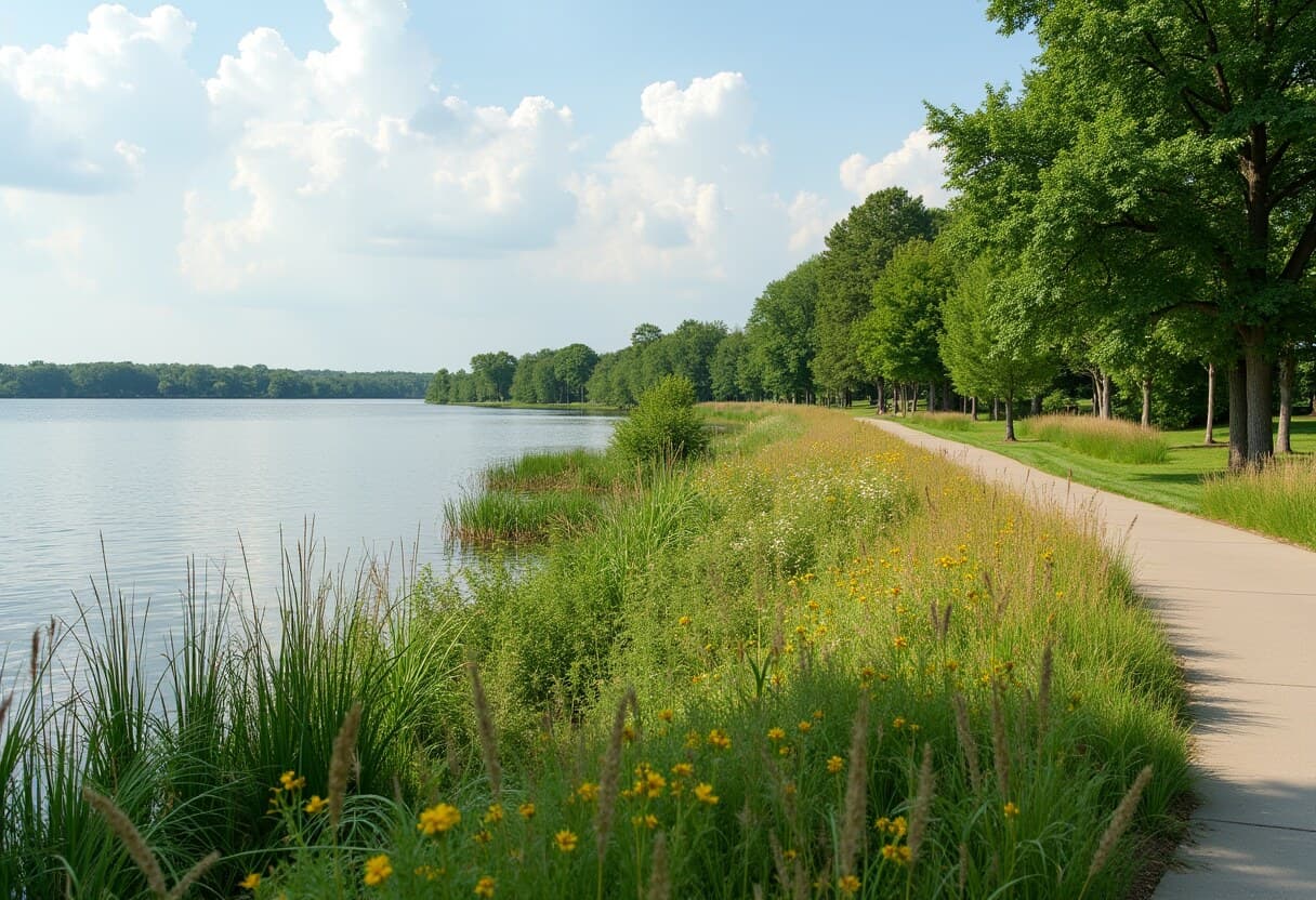
The Minneapolis Park and Recreation Board's Cedar-Isles master plan, adopted July 5, 2023, sets a new default for the banks of Cedar Lake and Lake of the Isles: maintain and stabilize the shoreline with native vegetation everywhere except at formal access points where people need to reach the water. The plan will guide the park land around both lakes, Dean Parkway and part of the Cedar Lake Regional Trail for the next 20-plus years.
It is a small change in wording with large consequences. Under the older lawn-to-the-waterline approach, every patch of native planting had to be justified against a baseline of mowed grass. Under the new default, every stretch of hard, mowed edge has to be justified against a baseline of living shoreline. The burden of proof has switched sides.
The exceptions are concrete. The plan includes 14 new formalized water access points and two new viewing spots, the canoe landings, beaches and solid-ground entries where a stroller or wheelchair can reach the water. Concentrating access at designed points keeps foot traffic off restored stretches, while the restored stretches protect the water that makes the access points worth visiting.
The plan was not adopted without dispute. It drew thousands of comments over more than three years and a Community Advisory Committee that met 13 times; some critics argued the final document underinvested in ecological repair.
Carried out over the plan's horizon, the default of native, stabilized bank will gradually shift the lakes' edges from mostly manicured with a few wild patches toward mostly natural with deliberate openings, deep-rooted vegetation that holds the bank, feeds wildlife and helps keep the water clear.
NeighborhoodEast IslesCedar-Isles-DeanLake of the Isles
Related stories

Neighborhood
Lowry Hill and East Isles Land on Patch's List of Minnesota's Most Expensive Neighborhoods
Lowry Hill and East Isles rank among Minnesota's most expensive neighborhoods according to Patch's analysis of Niche's 2026 data.

Neighborhood
Community celebrates Lake of the Isles Pencil's 5th sharpening
Thousands gathered in East Isles on June 6, 2026, to watch the annual ceremonial sharpening of Minneapolis' giant pencil sculpture.

Neighborhood
The end is in sight for Loring Park dandelion fountain's drought
State lawmakers approved $1.8 million for Berger Fountain repairs, and Park Board crews have begun demolition at the dry Loring Park landmark.
The neighborhood, in your inbox
Free. No paywall. Pick the topics you want — we send what’s happening this week.