NeighborhoodLowry Hill East (The Wedge)Greater Uptown & Nearby
The Lyndale Corridor and the Question of Bike Lanes
Hennepin County's plan to rebuild Lyndale Avenue South, the Wedge's eastern boundary, has drawn criticism from bike and transit advocates who say earlier designs left cyclists riding in traffic.
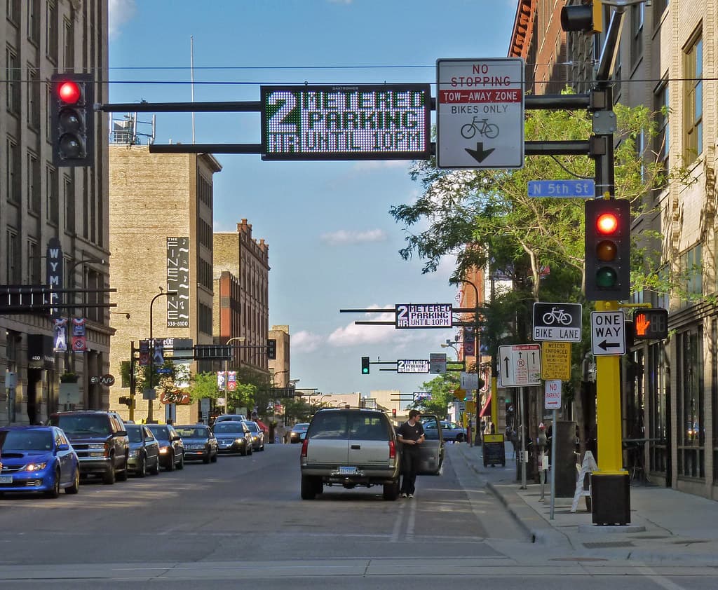
The county, working with the City of Minneapolis and Metro Transit, plans to reconstruct Lyndale Avenue South between Franklin Avenue and 31st Street, with planning continuing through 2026 and construction beginning in 2028. MinnPost reported in September 2025 that a county reconstruction plan failed the test for non-motorized users, leaving people on bikes to mix with cars. Later designs added a separated bikeway on the east side of Lyndale and space for a future northbound transit lane between 31st and 28th streets.
The redesign has split the corridor's users. The county's proposal reduces on-street parking by about a quarter to make room for bike and bus facilities, drawing pushback from a business group, Vibrant Lyndale, at a meeting at the Uptown VFW, while more than 100 people rallied for bus and bike lanes in the final designs. The county released three updated street designs combining varying amounts of parking, a dedicated bus lane and a two-way bike lane, and any plan will need city approval.
The debate echoes the one over the just-finished Hennepin Avenue rebuild on the Wedge's western edge, where a protected bikeway and lost parking divided opinion. With both of the neighborhood's bounding avenues being redesigned within the same span of years, the Wedge is at the center of the city's larger argument over how to divide finite street space among cars, buses, bikes and pedestrians.
NeighborhoodLowry Hill East (The Wedge)Greater Uptown & Nearby
Related stories

Neighborhood
Lowry Hill and East Isles Land on Patch's List of Minnesota's Most Expensive Neighborhoods
Lowry Hill and East Isles rank among Minnesota's most expensive neighborhoods according to Patch's analysis of Niche's 2026 data.

Neighborhood
Community celebrates Lake of the Isles Pencil's 5th sharpening
Thousands gathered in East Isles on June 6, 2026, to watch the annual ceremonial sharpening of Minneapolis' giant pencil sculpture.

Neighborhood
The end is in sight for Loring Park dandelion fountain's drought
State lawmakers approved $1.8 million for Berger Fountain repairs, and Park Board crews have begun demolition at the dry Loring Park landmark.
The neighborhood, in your inbox
Free. No paywall. Pick the topics you want — we send what’s happening this week.