CityCedar-Isles-DeanLake of the Isles
The 20-30 year plan that will reshape Lake of the Isles
The Cedar-Isles plan, approved by the Park Board on July 5, 2023, sets a 20-to-30-year vision for Lake of the Isles, Cedar Lake and the land around them.
The future of Lake of the Isles is mapped out in a Minneapolis Park and Recreation Board document with an unusually long horizon. The board of commissioners approved the Plan for Cedar Lake and Lake of the Isles, known as the Cedar-Isles plan, on July 5, 2023, setting a 20-to-30-year vision for the lakes and their surroundings.
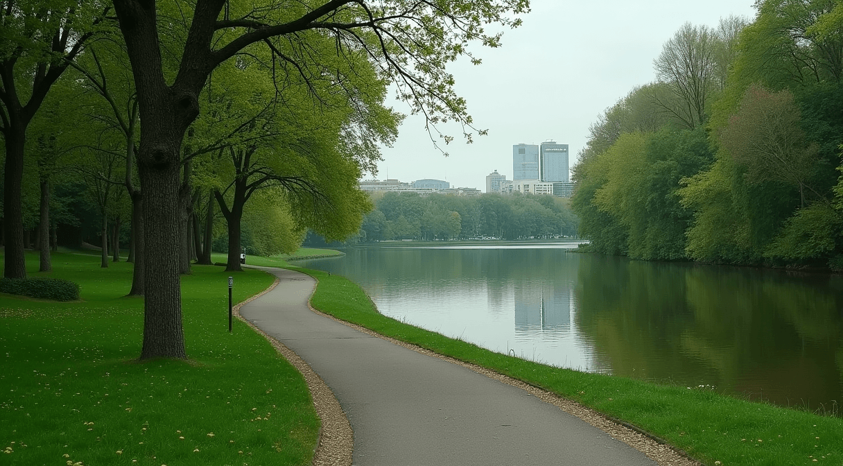
The plan covers not just the open water but Dean Parkway, the Kenilworth Channel and a stretch of the Cedar Lake Regional Trail, treating the lakes and their surroundings as a single connected system. It was the last area in the Minneapolis park system without a current long-term plan, the final piece of a decade-long effort to write master plans for every park. A community advisory committee met 13 times over more than three years of drafting, and the board refined the plan against thousands of public comments before adopting it.
At its core, the Cedar-Isles plan leans toward naturalization: more native shoreline and habitat, better water quality and stormwater management, and less mowed turf, alongside improvements to paths, access points and parkway design. It is a vision document that sets direction and priorities rather than a construction schedule, so individual projects still require their own funding and approvals. That long horizon is both its strength and its limitation, letting the board coordinate decades of incremental work but meaning residents will see the vision realized slowly, project by project.
Plans like this shape decisions long before a shovel hits the ground. When a shoreline-restoration grant arrives, when a parkway needs rebuilding, or when a channel reopens after light-rail construction, the Cedar-Isles plan is the reference for how the work should be done. Because it is a public document adopted after community engagement, it also gives neighbors a concrete vision to hold the Park Board to as specific projects come forward.
The plan will be realized through individual projects over decades, each with its own timeline, funding and public process. The Park Board posts the adopted plan and project updates online. Have a question about what the plan means for a stretch of shoreline or parkway you use? Send us a tip.
CityCedar-Isles-DeanLake of the Isles
Related stories

City
Parkway, intersection and pedestrian ramp improvements begin at Lake Harriet this year
Work to resurface Lake Harriet Parkway and improve the William Berry Parkway intersection will occur in phases starting in 2026.

City
Minneapolis Park and Recreation Board working on repairs at Northeast Ice Arena with goal of reopening in the fall
Minneapolis Park and Recreation Board plans to repair Northeast Ice Arena with a goal of reopening for the ice season this fall.

City
Algae at Minneapolis Lakes
The Minneapolis Park & Recreation Board issued an announcement about algae growth at city lakes following recent high temperatures.
The neighborhood, in your inbox
Free. No paywall. Pick the topics you want — we send what’s happening this week.