CityCedar-Isles-DeanLake of the Isles
The Cedar-Isles Master Plan and the Next Fifty Years
For one of the few park sites in Minneapolis without a modern plan, the Park Board is sketching a long-range vision.
Cedar Lake and Lake of the Isles were, until recently, among the few park sites in Minneapolis without a current master plan, a striking gap for two of the most cherished spaces in the system. For places this beloved and this heavily used, the absence of a guiding document meant decisions got made one at a time, without a shared sense of where the lakes were headed over the long run.
Planning a Beloved Place
The Minneapolis Park and Recreation Board set out to close that gap with the Plan for Cedar Lake and Lake of the Isles, the Cedar-Isles plan, a document meant to guide the future of the lakes and the parkland around them for the next two to three decades. After a public process, the board's commissioners approved the plan in July 2023, turning it into the policy reference for every implementation project to come.
The plan's reach is broad. It covers Cedar Lake, Lake of the Isles, Dean Parkway, the Kenilworth Channel and a portion of the Cedar Lake Regional Trail, the connective tissue that links the western suburbs to downtown. It even anticipates acquiring land along the corridor, including remnant parcels left over from the Southwest light rail project, to round out the parkland.
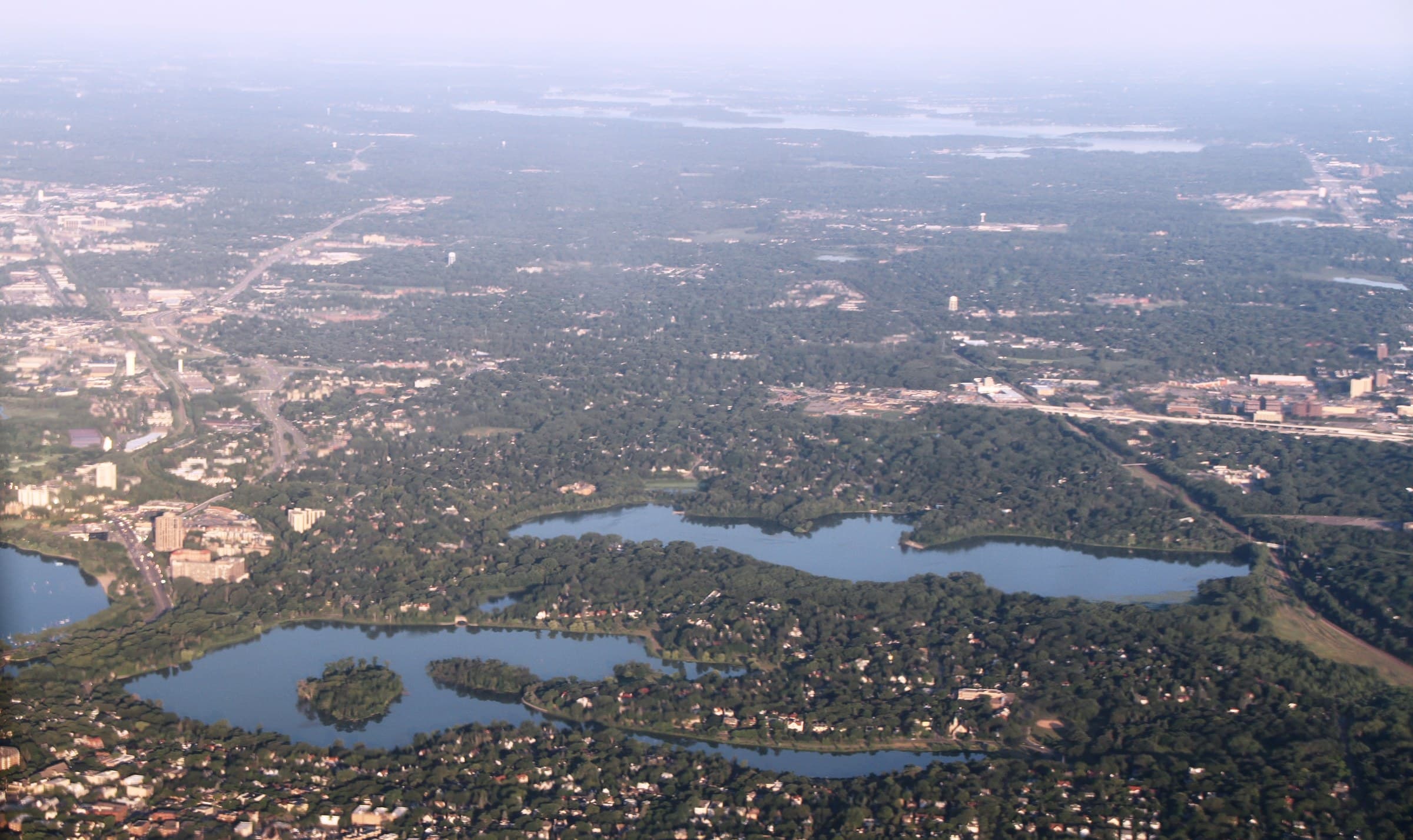
Two Lakes, Two Characters
Part of the planning challenge is that the two lakes are not alike. Cedar is the wilder, more natural of the pair, while Lake of the Isles is defined by formal lawns and a manicured walking and biking loop. A single plan has to honor both characters without flattening them into one, preserving Cedar's roughness and the Isles' polish at the same time.
The stated vision leans on words like protect, connect and sustain, an attempt to balance the millions of annual visitors against the health of the water and the wildlife that depend on it. It sets a default of native, stabilized shoreline everywhere but formal access points, and it leans on partners like the Minnehaha Creek Watershed District to do the water-quality work no single agency could manage alone.
The Next Fifty Years
A master plan is less a blueprint than a compass. It does not build anything by itself; it tells the Park Board which direction to walk every time money, a grant or a maintenance cycle makes a project possible. For two lakes that had gone without one, that direction is the point.
From Plan to Shovel
A master plan only matters if it changes what gets built, and this one already is. The plan's default of native, stabilized shoreline shows up in the bank restorations underway along the Isles; its emphasis on the Kenilworth Channel framed the roughly million-dollar rehab of that waterway; and its interest in acquiring corridor land positions the Park Board to absorb parcels left over from the Southwest light rail project as they become available.
That is the difference between a binder on a shelf and a working document. For the neighbors who turned out during the public comment period, the plan's value is that it converts their input into a standing reference the Park Board has to answer to every time money or a maintenance cycle makes a project possible, on two lakes that had gone without that kind of guidance for far too long.
For the neighbors who circle these shores daily, the plan is a promise that the lakes will be shaped on purpose rather than by default. After a public comment period that drew the people who use the lakes most, the document became the reference point for every future decision about these waters, and the slow work of carrying it out has already begun.
Cedar is known as the wilder lake; Lake of the Isles wears formal lawns. One plan has to love both.
CityCedar-Isles-DeanLake of the Isles
Related stories

City
Parkway, intersection and pedestrian ramp improvements begin at Lake Harriet this year
Work to resurface Lake Harriet Parkway and improve the William Berry Parkway intersection will occur in phases starting in 2026.

City
Minneapolis Park and Recreation Board working on repairs at Northeast Ice Arena with goal of reopening in the fall
Minneapolis Park and Recreation Board plans to repair Northeast Ice Arena with a goal of reopening for the ice season this fall.

City
Algae at Minneapolis Lakes
The Minneapolis Park & Recreation Board issued an announcement about algae growth at city lakes following recent high temperatures.
The neighborhood, in your inbox
Free. No paywall. Pick the topics you want — we send what’s happening this week.