NeighborhoodLowry HillLowry Hill East (The Wedge)Greater Uptown & Nearby
Hennepin Avenue Reopens After Two Years of Construction
The $36 million rebuild of South Hennepin brought new transit lanes, a protected bikeway and wider sidewalks to the Wedge and Lowry Hill's eastern edge.
A long-awaited reopening
After about two years of phased construction, Hennepin Avenue South reopened to two-way traffic at the end of October 2025. The City of Minneapolis fully reconstructed roughly 1.4 miles of the corridor between West Lake Street and Douglas Avenue — the western edge of the Wedge and the eastern flank of Lowry Hill — in a roughly $36 million project that dug down to the utilities beneath the pavement rather than simply resurfacing a street officials had described as deteriorated and overdue for a full rebuild.
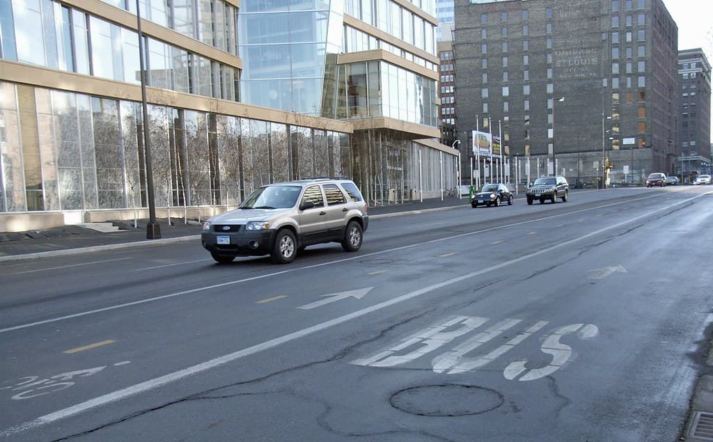
The work was split into two phases. Phase 1, from Lake Street north to 26th Street, finished in 2024; Phase 2, from 26th Street up to Douglas Avenue at the foot of Lowry Hill, was substantially completed in 2025, with remaining punch-list items and sewer lining trailing the reopening. The result is a multimodal redesign with bus-only lanes, a two-way off-street protected bikeway on the east side of the street, raised medians, wider and more consistent sidewalks, and new bus stations.
Two seasons of disruption
For the neighborhoods at the top of the corridor — the Wedge to the east of Hennepin and Lowry Hill to the west — the rebuild meant two seasons of detours, dust and shifting bus stops. For neighborhood businesses that weathered it, the return of full traffic, transit and bike access was a milestone worth marking. The payoff, city officials said at the late-October reopening, is a street rebuilt for transit riders, cyclists and pedestrians as much as for drivers.
What changed, and what comes next
The redesign narrowed general traffic in favor of dedicated bus lanes and the protected bikeway, a tradeoff that drew both praise and pushback during the planning years. Supporters point to faster, more reliable buses and a safer ride; skeptics worried about parking and turning movements for the small businesses along the avenue.
With Hennepin finished, attention now shifts east to Lyndale Avenue, the Wedge's other commercial spine, where a corridor redesign of its own is already drawing comment from residents and the neighborhood association.
What the city is betting on
The Hennepin redesign is, at bottom, a bet that prioritizing buses, bikes and pedestrians on a central corridor will pay off in faster transit, safer streets and a healthier business district. City leaders framed the October 2025 reopening in exactly those terms.
For an Uptown commercial district that has weathered storefront vacancies and post-pandemic struggles, the stakes are real. The rebuilt avenue is meant to be part of the recovery, not just a smoother road — and the neighborhoods at the top of the corridor will be watching whether it delivers.
After about two years of orange cones, Hennepin Avenue is whole again — and, for better or worse depending on whom you ask, a different street than the one that closed.
NeighborhoodLowry HillLowry Hill East (The Wedge)Greater Uptown & Nearby
Related stories

Neighborhood
Lowry Hill and East Isles Land on Patch's List of Minnesota's Most Expensive Neighborhoods
Lowry Hill and East Isles rank among Minnesota's most expensive neighborhoods according to Patch's analysis of Niche's 2026 data.

Neighborhood
Community celebrates Lake of the Isles Pencil's 5th sharpening
Thousands gathered in East Isles on June 6, 2026, to watch the annual ceremonial sharpening of Minneapolis' giant pencil sculpture.

Neighborhood
The end is in sight for Loring Park dandelion fountain's drought
State lawmakers approved $1.8 million for Berger Fountain repairs, and Park Board crews have begun demolition at the dry Loring Park landmark.
The neighborhood, in your inbox
Free. No paywall. Pick the topics you want — we send what’s happening this week.