CityLowry HillLowry Hill East (The Wedge)East IslesCedar-Isles-DeanBryn MawrGreater Uptown & Nearby
Hennepin's Rebuild Tested the Balance Between Cars, Buses and Bikes
The rebuilt Hennepin Avenue South divides its fixed width among buses, bikes, cars and pedestrians, and no constituency got everything it wanted.
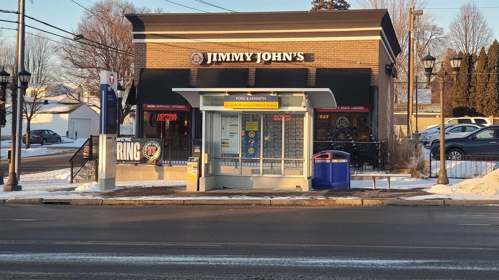
The Hennepin Avenue South reconstruction that reopened in late October 2025 forced the city to decide how a single 1.4-mile street should divide its space among cars, buses, bikes and pedestrians. Every choice — transit lanes, a protected bikeway, a center turn lane, parking — meant prioritizing some users over others on a corridor that cannot fully satisfy all of them at once.
The constraint is geometric. The street was slimmed from two through lanes in each direction with parking on both sides to one through lane each way, a center turn lane at select intersections, a dedicated bus lane in each direction and an off-street two-way bikeway. Every foot given to one mode is a foot taken from another.
The competing claims were all legitimate. Transit advocates wanted full-time bus lanes to guarantee the reliability of the new METRO E Line, which began service Dec. 6, 2025. Cyclists wanted the separated bikeway the design delivered. Drivers and some businesses wanted to preserve traffic capacity, parking and curbside loading. Pedestrians wanted wider sidewalks and shorter crossings.
The clearest sign the result was a real compromise is that each side can point to something it lost. Transit did not get the 24-hour lanes that an earlier council majority had approved before Frey vetoed them; the adopted plan runs the bus lanes six hours a day, with the city saying hours could expand no sooner than two years after construction ends. Drivers lost a through lane and parking. Advocates of a more car-free street felt it did not go far enough.
For Wedge, Lowry Hill and lakes-neighborhood residents who rely on Hennepin for shopping, commuting and transit, the corridor is a daily test of how the city intends to rebuild its arterials. The real verdict will come from use: E Line travel times, bike and pedestrian safety data, traffic flow and the health of businesses over the coming year. Residents can share their experience with the Ward 7 council office and follow performance through the city's project page and Metro Transit.
CityLowry HillLowry Hill East (The Wedge)East IslesCedar-Isles-DeanBryn MawrGreater Uptown & Nearby
Related stories

City
Parkway, intersection and pedestrian ramp improvements begin at Lake Harriet this year
Work to resurface Lake Harriet Parkway and improve the William Berry Parkway intersection will occur in phases starting in 2026.

City
Minneapolis Park and Recreation Board working on repairs at Northeast Ice Arena with goal of reopening in the fall
Minneapolis Park and Recreation Board plans to repair Northeast Ice Arena with a goal of reopening for the ice season this fall.

City
Algae at Minneapolis Lakes
The Minneapolis Park & Recreation Board issued an announcement about algae growth at city lakes following recent high temperatures.
The neighborhood, in your inbox
Free. No paywall. Pick the topics you want — we send what’s happening this week.